Dublin Mountains Hikes: Ticknock, Hellfire Club & Three Rock
Siúlóidí Shléibhte Bhaile Átha Cliath
Ar an gComhartha Seo — On this sign
- Quick Answer: Which Dublin Mountains Walk Should You Do?
- Ticknock and the Fairy Castle Loop
- The Hellfire Club on Montpelier Hill
- Massy’s Wood
- Getting There Without a Car
- The Long-Distance Routes
- The Other Forests Worth Knowing
- What to Wear, and When to Go
- Gotchas
- FAQ: Dublin Mountains Hikes
- Keep Planning
- Keep Reading
- Photo Credits
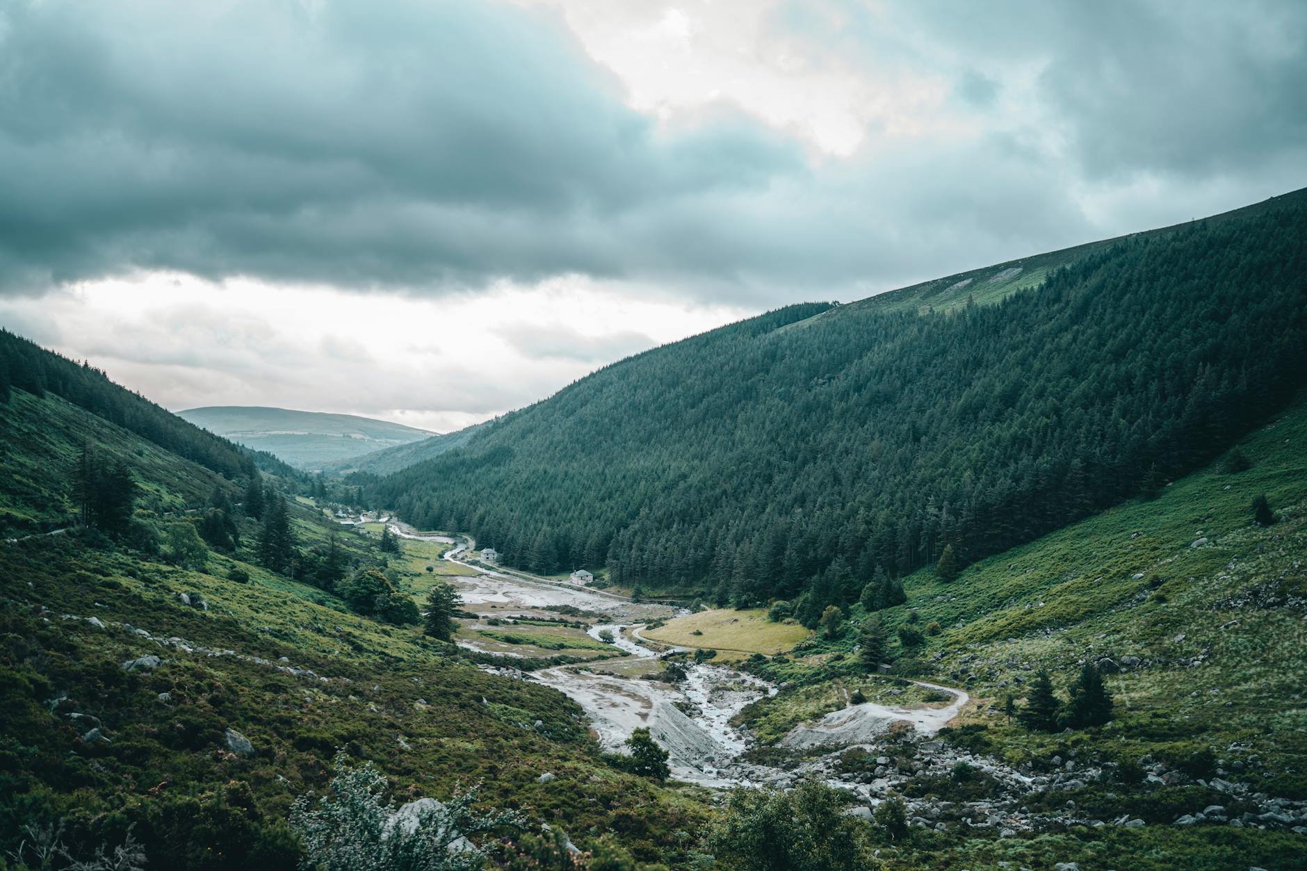
Catch a bus to the edge of the southern suburbs and you can be standing in a forest car park at four hundred metres with the whole of Dublin laid out below you — the bay, the Poolbeg chimneys, Howth Head sticking out into the sea, and on a very clear day the Mourne Mountains to the north and the hills of Wales across the water. There are not many capital cities where the mountains are a local bus ride away and the walking is free. Dubliners take this completely for granted, which is why the trails are full of locals with dogs and almost empty of visitors.
This is a guide to the Dublin Mountains hikes that are actually worth your morning: the Fairy Castle Loop at Ticknock, the climb to Three Rock, the Hellfire Club on Montpelier Hill with its ruined hunting lodge and its very good story, and Massy’s Wood across the road. It covers the real distances and grades, what the car parks cost and — more importantly — what time they shut, how to get to each without a car, what to wear in a range that makes its own weather, and which of these is the one to do if you only have half a day.
Quick Answer: Which Dublin Mountains Walk Should You Do?
If you have half a day and want the view, do the Fairy Castle Loop at Ticknock: 5.5 kilometres, an hour and three-quarters, graded moderate, on green waymarkers, climbing to the 536-metre summit of Two Rock Mountain. It is the best of the Dublin Mountains hikes for a first-time visitor: the car park is free and open from 06:00 to 22:00, Go-Ahead Ireland’s 114 bus runs out to Ticknock from Blackrock, and the panorama at the top takes in the city, Dublin Bay, Bray Head and the Wicklow Mountains.
If you want a story rather than a summit, do the Hellfire Club on Montpelier Hill: a shorter, steeper climb through forestry to a ruined eighteenth-century hunting lodge built with stone robbed from a Neolithic passage tomb, with several centuries of devil legends attached. Parking is free, but the Coillte car park shuts earlier as the days get shorter (17:00 through the winter), so check the time on the gate and be back before dusk. Doing both in one day works well with a car and does not work at all without one.
| Walk | Distance | Time | Grade | Car park | By bus |
|---|---|---|---|---|---|
| Fairy Castle Loop, Ticknock | 5.5 km | 1h 45m | Moderate | Free, 06:00–22:00 | Go-Ahead 114 from Blackrock |
| Three Rock from Ticknock | Shorter out-and-back | — | Moderate | Free, 06:00–22:00 | Go-Ahead 114 from Blackrock |
| Hellfire Club, Montpelier Hill | 4 km loop | 1h | Short but steep | Free, 17:00 in winter | Local Link SD4, Sat only |
| Massy’s Wood | Short woodland walk | — | Easy | Free, 17:00 in winter | Local Link SD4, Sat only |
| Hellfire + Massy’s loop | Over 4 km | Half a day | Moderate | Free, 17:00 in winter | Local Link SD4, Sat only |
| Dublin Mountains Way (full) | 42 km | Best in sections | Long-distance | — | Shankill to Tallaght |
Ticknock and the Fairy Castle Loop
If you only do one of the Dublin Mountains hikes on this page, do this one.
Ticknock sits three kilometres south-west of Sandyford, on the shoulder of the range directly above the southern suburbs, and it is one of the most popular Coillte recreation sites in the Dublin Mountains. The car park holds 145 cars on a one-way system, it is free, and it is open from six in the morning until ten at night — considerably more generous than the other sites, and the reason Ticknock is the sensible default.
The route
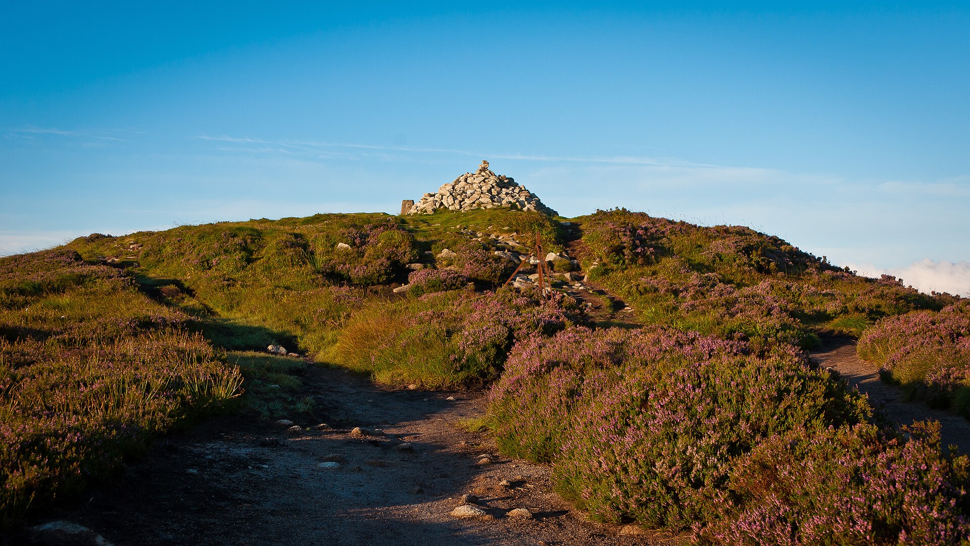
The Fairy Castle Loop is 5.5 kilometres, waymarked in green, graded moderate, and signed for an hour and forty-five minutes. It leaves the car park on forest track, climbs steadily through the plantation, breaks out onto open heather and boardwalk, and finishes at the summit cairn on Two Rock Mountain at 536 metres — the highest point on the whole Dublin Mountains Way.
That cairn is the Fairy Castle itself, and it is thought to cover a Neolithic passage tomb, which puts it in the same category as Newgrange and the summit tomb on Montpelier Hill: this range was a burial landscape for the people who lived on the plain below, four or five thousand years before anyone thought of building a city there. From the top the view runs across the whole of Dublin Bay to Howth, west over the plain, and south into Wicklow. It is worth timing for late afternoon in summer or mid-morning in winter, when the light is across the city rather than into your eyes.
The terrain is forest track, then stone path, then boardwalk over blanket bog. It is well surfaced by mountain standards and does not require any scrambling, but it is genuinely uphill and the top is exposed. Ordinary trainers will get you round in July; from October to April you want boots, because the boggy sections hold water.
Three Rock Mountain
Three Rock is the lower of the two summits at 444 metres and it is the one you can see from most of south Dublin, because it carries the telecommunications masts. The out-and-back from the Ticknock car park is short and rewarding.
The masts are ugly and the summit is not a wilderness experience, but the view is essentially the same one you get from Fairy Castle for half the effort, and the granite tors that give the hill its name are worth the walk on their own. If you have small children, low energy or a tight morning, do Three Rock and skip the loop. Combining the two — Three Rock on the way up, Fairy Castle at the top — is the standard local variation and adds very little time.
Getting to Ticknock
There is no direct bus from the city centre. Go-Ahead Ireland route 114 runs between Blackrock and Ticknock, so plan the connection on the Transport for Ireland journey planner, check the current timetable and use a Leap Card — see the bus routes guide and the Leap Card guide. Driving, the route runs out through Rathfarnham to Marlay Park, right at the Ballinteer St John’s clubhouse, around the edge of the park, left at Taylor’s Grange onto the R113 and second right. There are no toilets and no bins at Ticknock, so plan accordingly and take everything home with you.
The Hellfire Club on Montpelier Hill
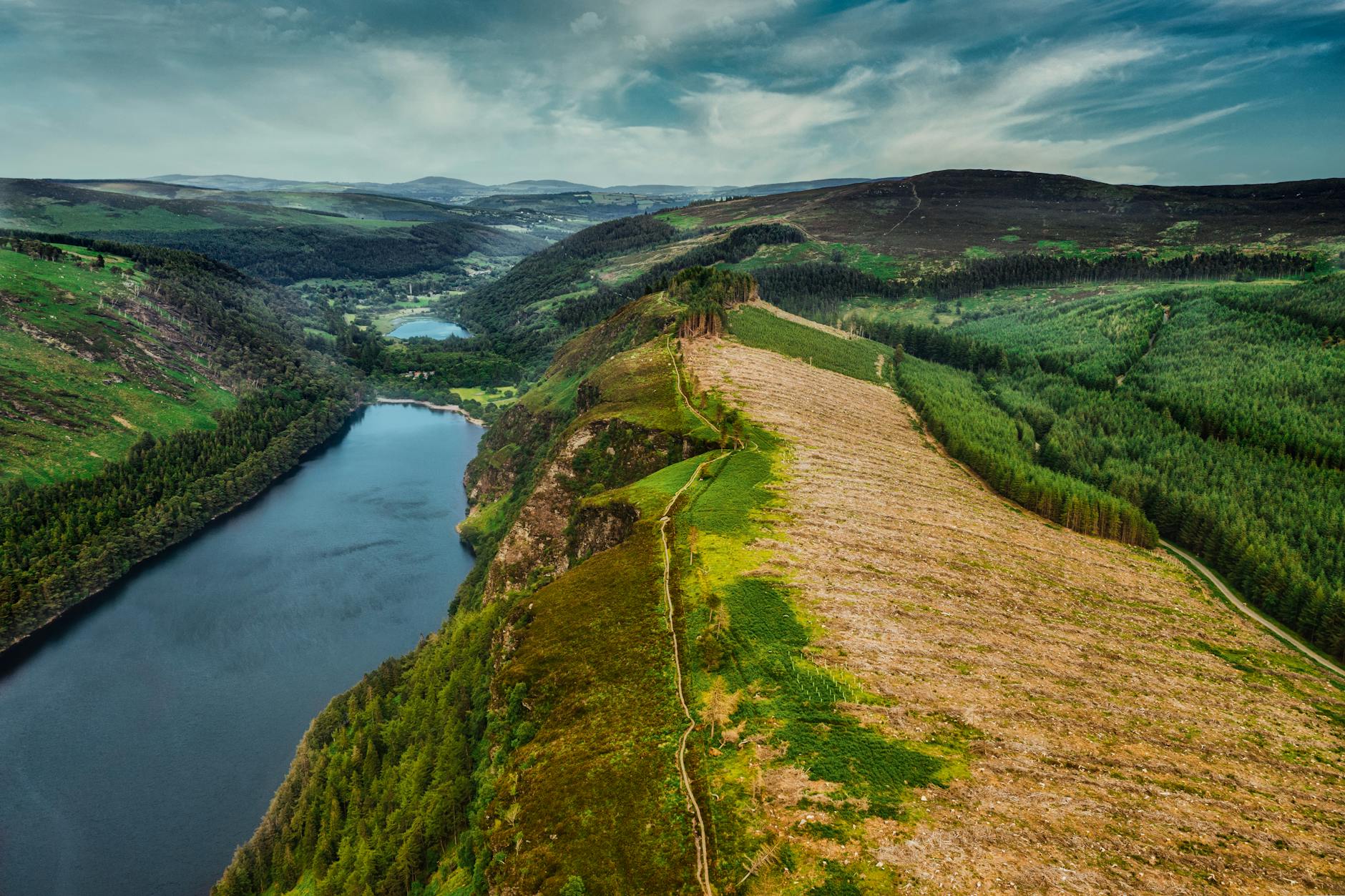
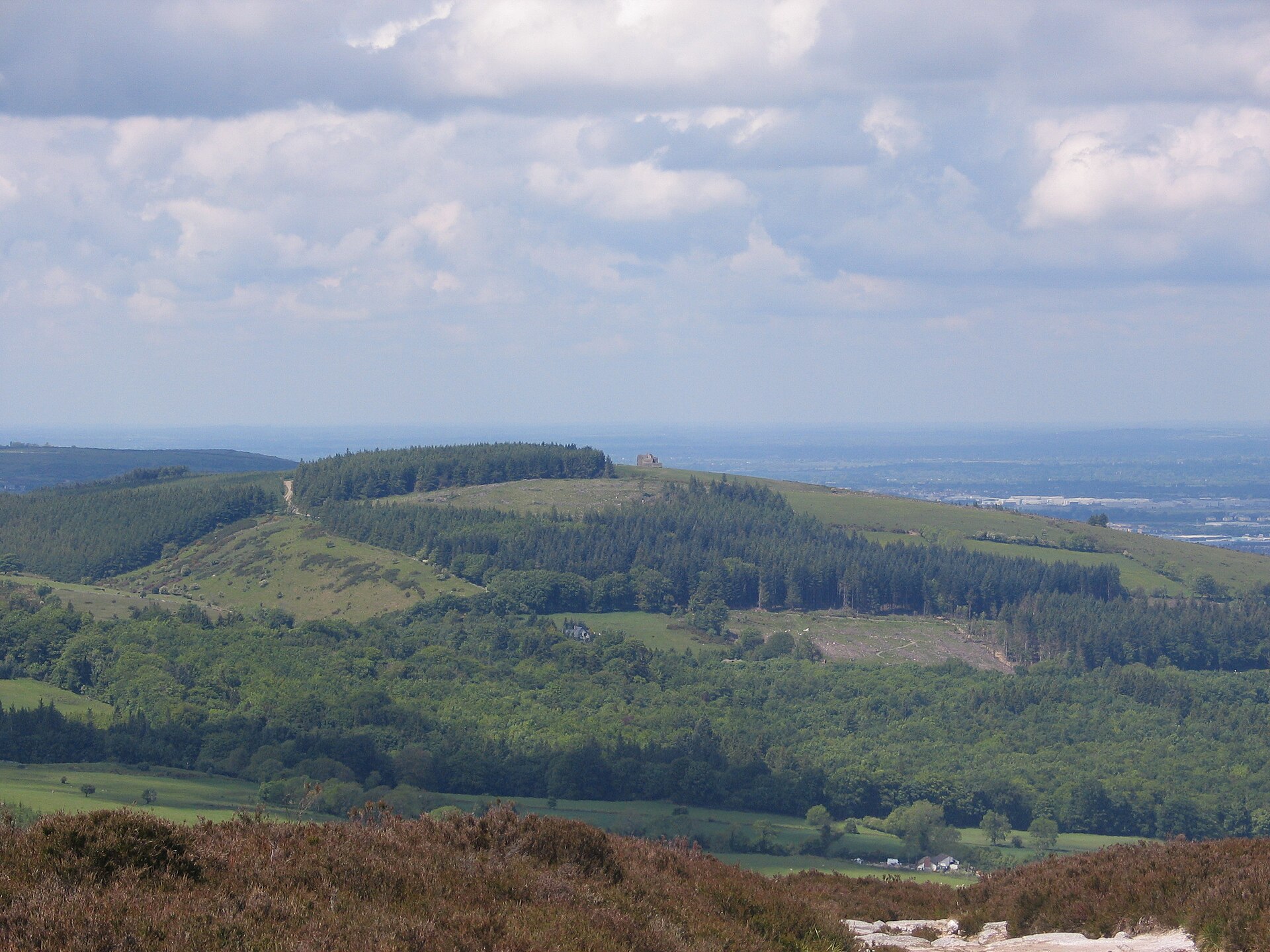
The most famous of the Dublin Mountains hikes, and the one people come for the story rather than the walking. Montpelier Hill rises to 383 metres about 6.5 kilometres south of Rathfarnham, and on the top of it stands a roofless stone building that has been staring down at Dublin for three hundred years.
The story, which is better than the legend
William Conolly — Speaker of the Irish House of Commons and one of the wealthiest men in Ireland — built a hunting lodge up here around 1725. To get the stone, his builders demolished a prehistoric cairn on the summit, which archaeological work has since confirmed covered passage tombs. When the roof blew off in a storm shortly afterwards, local opinion held that the devil had taken it in reprisal, and Conolly had it replaced with a stone vault, which is why the shell has survived.
After Conolly’s death the building became associated with the Irish Hell Fire Club, a drinking society of young aristocrats founded in the 1730s, and the stories accumulated from there: the card game where a stranger joined the table and someone noticed he had cloven hooves; the black cat; the fire. Almost none of it is documented and all of it is very good. The ruin itself is genuinely atmospheric, particularly on a grey afternoon in autumn, and it is the obvious walk to do around Halloween in Dublin.
The walk
It is short and steep rather than long: the blue-waymarked Montpelier loop is 4 kilometres from the car park and takes about an hour, climbing steadily through conifer plantation on a forest track before opening out at the ruin. Small children manage it; anyone reasonably mobile manages it. The view from the top is the whole city and the bay, and it is arguably better than the Ticknock one because you are looking straight down the line of the Liffey.
The car park is free, but in winter it closes at 17:00. The hours shift with the season, so read the sign on the gate when you arrive. This is the single most important practical fact about the Hellfire walk and it catches people out constantly, because Cruagh Wood and Carrickgollogan run to the same seasonal hours. Once the clocks go back at the end of October the light goes early too, so set off in good time and plan to be back at the car before dusk.
The visitor centre that has not opened
You will read about a Dublin Mountains Visitor Centre at Montpelier Hill — a café, a shop, toilets, a walker’s lounge, an exhibition and a tree-top walkway over to Massy’s Wood. It is a real project, led by South Dublin County Council with Coillte, and as of September 2026 it is still in detailed design and has no announced opening date. Do not plan a visit around it, and do not expect a coffee at the top.
What you should expect is work on the ground: trail improvements at the site are scheduled to run from January 2026 to July 2027, along with conservation and archaeological investigation, so some paths may be diverted or closed. Check hellfiredublinmountains.ie and the Dublin Mountains Partnership before you set out.
Massy’s Wood
The gentlest of the Dublin Mountains hikes, and the one almost nobody does.
Directly across the road from the Hellfire car park and almost nobody crosses over. Massy’s Estate was the demesne of the Baron Massy family, and what is left is a wonderfully overgrown ruin of a nineteenth-century pleasure ground: the shell of the house, a walled garden going back to nature, an ice house, avenues of enormous beech and Monterey pine, and a river running through it.
The walking is easy and largely flat, and it is the best option in the range for anyone who does not want to climb anything. Combined with the 4-kilometre Montpelier loop it makes the most rewarding half-day in the Dublin Mountains — one hill, one ruin on top, one ruin in a wood, and two completely different kinds of atmosphere. It is also considerably more sheltered than the summit, which matters on a windy day.
Getting There Without a Car
This is the honest constraint on Dublin Mountains hikes, and most guides skate over it.
- Ticknock has a bus. Go-Ahead Ireland’s 114 runs there from Blackrock, though nothing goes direct from the city centre, so allow for a connection.
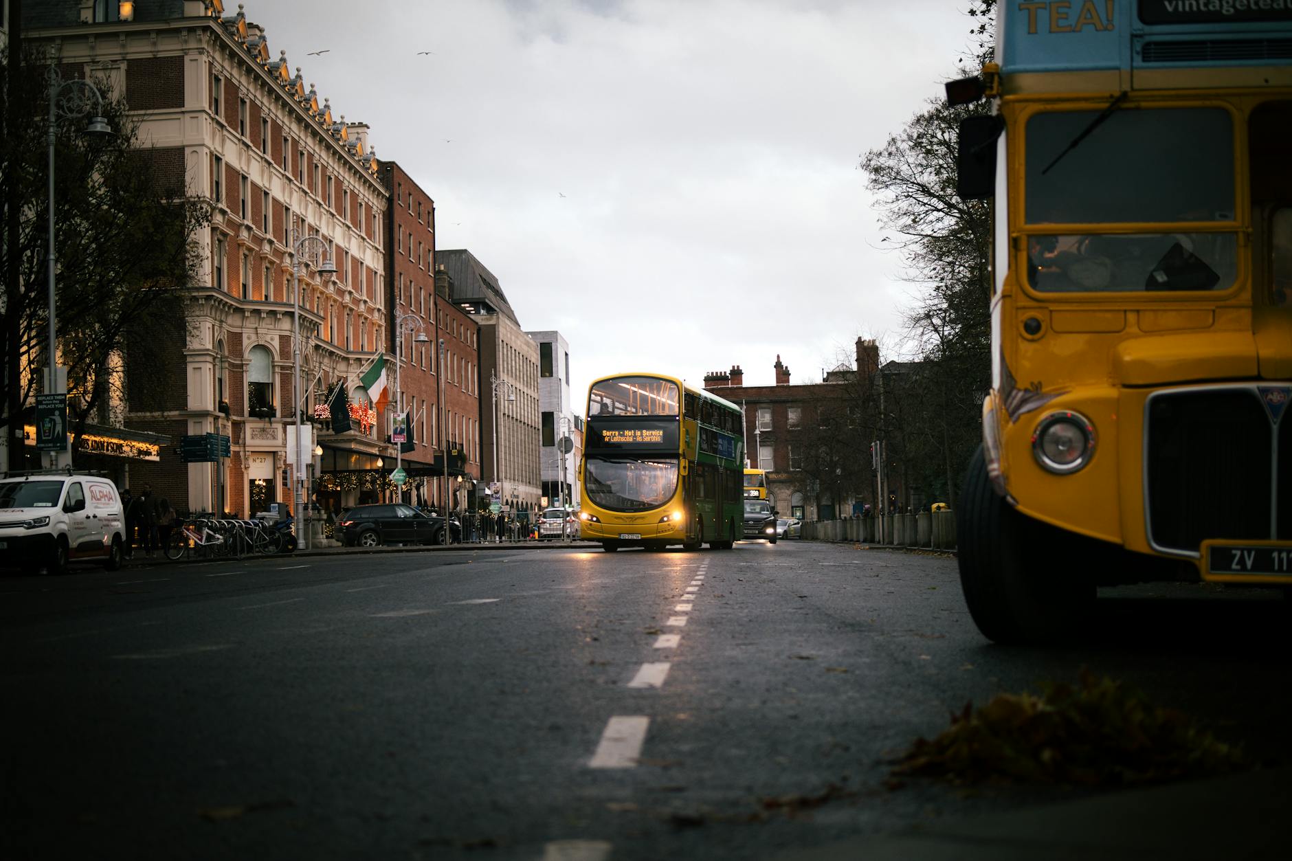
- Hellfire and Massy’s are hard. The only public transport is Local Link SD4, which runs on Saturdays only, four services in each direction, between Tallaght and Tibradden Wood, calling at Cruagh Wood and Hell Fire Club / Massy’s Estate. It has run since September 2024 and it is genuinely useful — but it is one day a week, so if you are here Monday to Friday without a car, Hellfire is effectively a taxi job.
- A taxi from the city centre to Hellfire is realistic and not enormous, but you will need to arrange the return leg before you lose signal. See the taxi guide.
- Hiring a car for one day makes sense if you are combining the mountains with Powerscourt or Glendalough further south. It does not make sense for a single walk. Renting a car in Dublin covers the caveats, and day trips without a car covers the alternatives.
The Long-Distance Routes
Beyond the half-day Dublin Mountains hikes there are two waymarked long-distance trails, and both are better known for their far ends than for the sections closest to the city.
Two waymarked long-distance trails run through this range, and both start close enough to the city to be walked in sections.
The Dublin Mountains Way runs 42 kilometres from Shankill on the coast to Tallaght in the west, crossing Carrickgollogan, Barnaslingan, Glencullen, Three Rock, Two Rock, Tibradden, Cruagh Wood, the Featherbed and Glenasmole on the way. Its highest point is the Fairy Castle summit at 536 metres. Most people walk it in sections rather than end to end, and the stretch from Three Rock over Two Rock to Cruagh Wood strings together the best of the Dublin Mountains hikes in a single day.
The Wicklow Way is the more famous of the two: 131 kilometres from Marlay Park in Rathfarnham to Clonegal in County Carlow, and the first waymarked long-distance trail in the Republic of Ireland. Its opening kilometres climb out of Marlay through Kilmashogue and over Prince William’s Seat, which makes for an excellent day walk from a city bus stop. Walk it as far as Glencullen or Curtlestown and get a bus back. Our walking in Dublin guide covers the urban routes, and Glendalough is where the Wicklow Way eventually gets to.
The Other Forests Worth Knowing
Five more Coillte sites, all free, all within about forty minutes of the city, and all considerably emptier than Ticknock on a Sunday.
- Cruagh Wood — a looped walk with a viewing point over the city, on the same road as Hellfire and with the same seasonal car park hours. Quieter than Ticknock by a distance.
- Tibradden Wood (Pine Forest) — mature pine, a summit cairn, and the terminus of the Saturday Local Link service. Check the closing time on the car park gate.
- Kilmashogue — has a wedge tomb a few minutes from the car park, which is an easy piece of prehistory for anyone who is not going to make it to Newgrange.
- Carrickgollogan — the lowest of them, with the Ballycorus lead mines chimney on a neighbouring hill, a genuinely strange nineteenth-century industrial landmark reached by a flue running up the hillside. Car park closes at 17:00 in winter.
- Marlay Park — not a mountain at all, but the trailhead for the Wicklow Way and a good place to start or finish. It has a playground, a café and a Sunday market. See parks and playgrounds.

What to Wear, and When to Go
The one thing that separates good Dublin Mountains hikes from miserable ones is being dressed for a range that sits several degrees below the city.
The range makes its own weather and it is consistently colder, wetter and windier than the city eleven kilometres below. Dublin Airport averages about 78 mm of rain in October, one of the wettest months of the year, though November is wetter still; the tops get more. The city sits in the Wicklow rain shadow and the mountains are what casts it, which is a good way of remembering which side of the deal you are on when you climb up there.
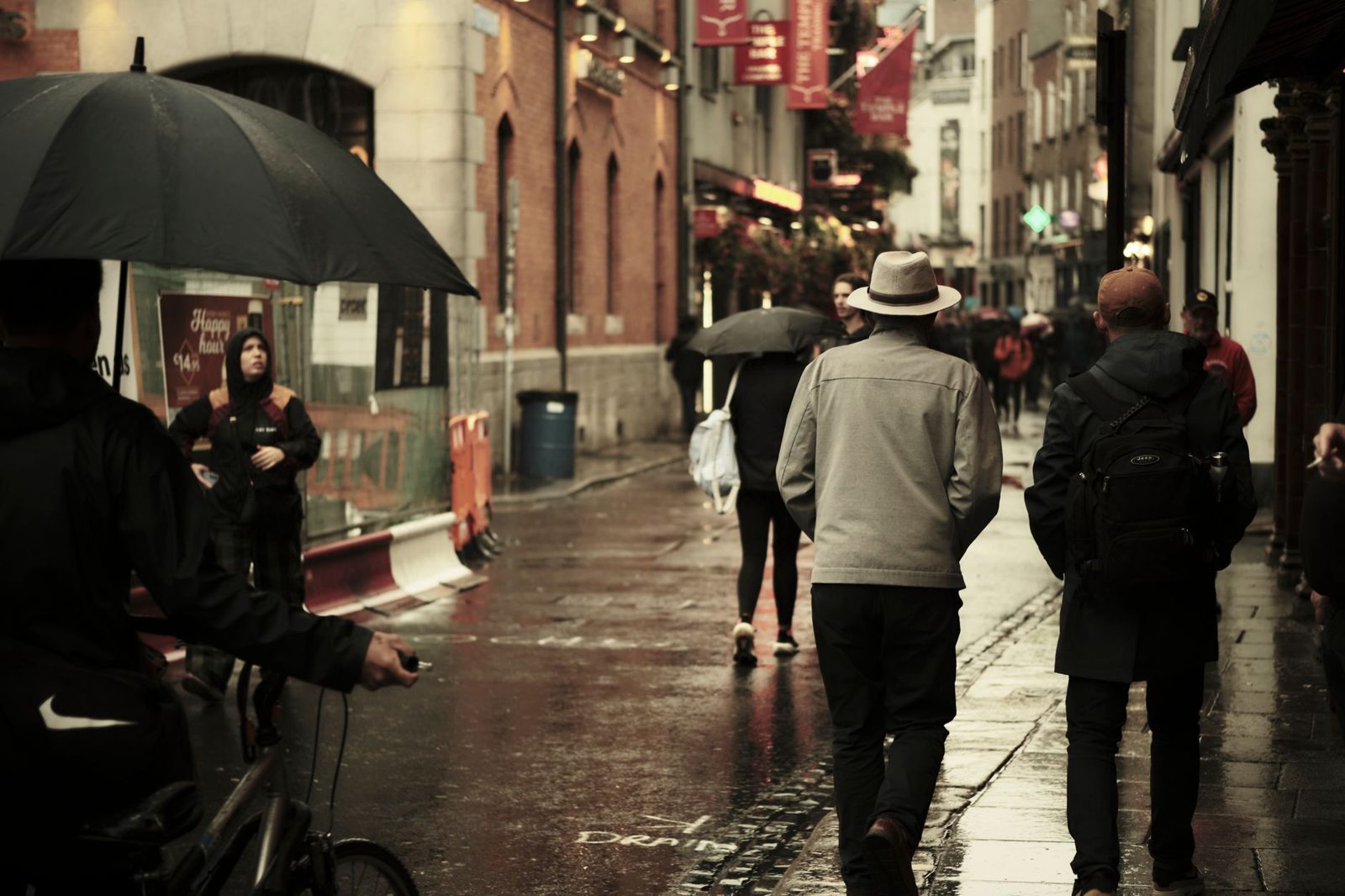
- A hooded waterproof, not an umbrella. The wind up here destroys umbrellas and this is the standing local advice for the city too.
- Boots from October to April. The boardwalk sections at Ticknock cross blanket bog and the forest tracks hold water. Trainers are fine in high summer.
- Layers. The tops are noticeably colder and windier than the city, and the summits are fully exposed.
- Check the forecast on Met Éireann, not on a phone default app. Mountain conditions here change fast.
- Watch the daylight. The clocks go back on Sunday 25 October 2026; sunset that evening is about 17:08 and by 31 October it is 16:55. With the forest car parks closing earlier for winter, an autumn afternoon walk needs an early start.
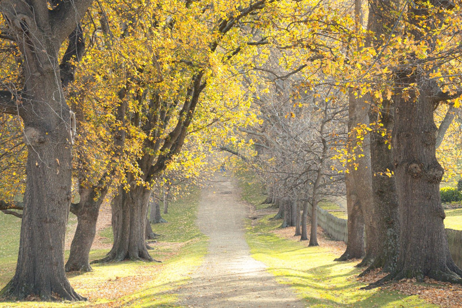
The best months are April to June for long light and dry ground, and September to October for colour and low sun. Winter is fine and often clearer, but you are working with about seven and a half hours of daylight in late December. See the Dublin weather guide and the best time to visit.
Gotchas
The things that most reliably go wrong on Dublin Mountains hikes, in rough order of how often we hear about them.
- The Coillte car parks at Hell Fire Club, Cruagh Wood and Carrickgollogan close at 17:00 in winter. Their hours change with the season, so check the sign on the gate. Ticknock is the exception at 06:00–22:00.
- The Dublin Mountains Visitor Centre is not open and has no announced date. No café, no toilets, no shop at Hellfire.
- Trail works run at Montpelier Hill from January 2026 to July 2027. Paths may be diverted; check before travelling.
- There are no toilets and no bins at Ticknock. Take everything home.
- Local Link SD4 to Hellfire runs on Saturdays only, four services each way. There is no midweek bus.
- Phone signal is patchy on the tops. Download the map before you leave the car park.
- The bog is real. Boardwalk sections are slippery when wet and the ground either side is not firm.
- Dogs must be under control and there is sheep grazing on the open hill.
- Do not leave anything visible in a car. Forest car parks are quiet places.
- Dublin Castle is closed to visitors until January 2027, so if you were pairing a mountain morning with the castle in the afternoon, plan around it.
FAQ: Dublin Mountains Hikes
Is the Hellfire Club walk difficult?
No — it is short and steep rather than hard. The Montpelier loop from the car park is 4 kilometres and takes about an hour, climbing steadily on a forest track before opening out at the ruin on the 383-metre summit. Anyone reasonably mobile will manage it, and children do it regularly. The only real difficulties are the surface after rain and the car park hours, which shorten to a 17:00 close in winter; check the gate before you set off.
How do you get to Ticknock without a car?
Take Go-Ahead Ireland route 114, which runs between Blackrock and Ticknock and is the bus for the Ticknock end of the Dublin Mountains hikes. Nothing runs direct from the city centre, so work out the connection on the Transport for Ireland journey planner. Use a Leap Card and check the timetable for the return, because services thin out in the evening.
Can you do Ticknock and the Hellfire Club in one visit?
With a car, yes, comfortably — they are about twenty minutes apart on the mountain roads and between them make a full and varied day. Do Hellfire and Massy’s Wood first, because that car park shuts much earlier (17:00 in winter; the sign on the gate has the current hours), and finish at Ticknock, which stays open until 22:00. Without a car it does not work: they are on different bus networks and the Hellfire service runs on Saturdays only.
How long is the Fairy Castle Loop?
5.5 kilometres, signed for one hour forty-five minutes, graded moderate and waymarked in green from the Ticknock car park. It climbs to the summit cairn on Two Rock Mountain at 536 metres, the highest point on the Dublin Mountains Way.
Do you have to pay to park in the Dublin Mountains?
No. Parking at Ticknock is free with 145 spaces, and parking at the Hell Fire Club is free too. What varies is the hours: Ticknock is open 06:00 to 22:00, while Hell Fire Club, Cruagh Wood and Carrickgollogan change with the season and close at 17:00 in winter. That closing time, not the price, is the thing to plan around, so read the gate sign when you park.
Are the Dublin Mountains suitable for children?
Very. The Hellfire Club walk is short enough for a six-year-old and has a ruined castle and a devil story at the top, which is a good combination. Massy’s Wood is flat, sheltered and full of overgrown ruins. Three Rock from Ticknock is the shortest way to a real summit view. The Fairy Castle Loop is a genuine 5.5-kilometre hill walk and is better suited to older children. See day trips with kids and Dublin for families.
Is there anywhere to eat in the Dublin Mountains?
Not at the trailheads. There are no cafés, shops or toilets at Ticknock or the Hell Fire Club, and the planned visitor centre has not opened. Bring what you need. The nearest reliable food is back down in Rathfarnham, Dundrum or Sandyford, or up at Johnnie Fox’s in Glencullen, which claims to be the highest pub in Ireland and has three open fires — see the cosy pubs guide.
What is the best view of Dublin from the mountains?
Fairy Castle, at 536 metres the highest point on the Dublin Mountains Way, gives a wide panorama — the whole bay, Howth, the plain and into Wicklow. Montpelier Hill gives the better city view, because you are looking straight down the line of the Liffey with the Poolbeg chimneys as the marker. Three Rock gives you nearly the Ticknock view for half the climb. On a very clear day the view can stretch to the Mourne Mountains in the north and the Welsh hills across the Irish Sea.
Are the Dublin Mountains the same as the Wicklow Mountains?
They are the northern end of the same granite massif — the range runs continuously from the edge of the southern suburbs down into Wicklow and Carlow. “Dublin Mountains” means the part inside County Dublin: Ticknock, Two Rock, Three Rock, Montpelier Hill, Kilmashogue, Tibradden and Cruagh. Cross the county boundary and the same hills become the Wicklow Mountains, and get considerably bigger. The Glendalough day trip takes you into the heart of them.
Keep Planning
- Day Trips from Dublin — the parent guide, with every option compared.
- Glendalough Day Trip — the same range, an hour further south.
- Walking in Dublin — the city routes, canals and coast.
- The Howth Cliff Walk — the sea-level alternative, around half an hour on the DART.
- Bray to Greystones — seven kilometres of coastal path with a train at each end.
- Powerscourt — gardens and one of Ireland’s highest waterfalls, on the Wicklow side.
- Free Things to Do in Dublin — all of this costs nothing.
- Halloween in Dublin — when the Hellfire Club comes into its own.
Keep Reading
Photo Credits
Montpelier Hill and the Hellfire Club: Mount Pelier by Joe King, CC BY-SA 3.0, via Wikimedia Commons.
Fairy Castle summit path: Fairy Castle on Two Rock Mountain by Joe King, CC BY-SA 3.0, via Wikimedia Commons.
Lean na Comharthaí — Keep following the signs